


February 2026 Weather Recap: Regional Contrasts and Persistent Mildness

If January was a month of two halves, February 2026 was notably consistent in its damp theme, particularly across the southern half of the UK. February is often expected to deliver a late-season cold spell. Provisional figures suggest a month shaped by a persistent southerly jet stream, persistent mildness, and enough rainfall to make even the most seasoned garden weather station owner double-check their equipment.
In this recap, we’ll look at the meteorological setup that drove the month, from the early Arctic breakdown to the regional contrasts that left Scotland on a noticeably different weather pattern at times.
The Early Month: The Arctic Breakdown
The month began with competing air masses. Late January featured a blocking high over Scandinavia and parts of the Atlantic. It briefly supported colder conditions. In the first week of February, observations indicate that this pattern weakened and an Arctic breakdown followed.
As the blocking high eroded, Atlantic systems became more influential. Northern areas held onto the colder air for a short period. Some light snowfall was reported on higher ground in the Highlands. For much of the UK, the colder air was then replaced by a milder Tropical Maritime flow as the jet stream strengthened and shifted.
![]()
The Jet Stream: Taking the Low Road
The defining feature of February 2026 was the position of the jet stream. In many winters it tracks further north. It then steers more low-pressure systems towards Iceland and northern Scandinavia. This year, provisional analysis points to an active jet stream displaced to the south. It tracked more directly across the UK.
With the jet stream further south than usual, it helped maintain a steady sequence of Atlantic depressions. These systems carried mild air and high moisture content. For those monitoring a digital weather station, this often showed up as frequent pressure falls as systems crossed the South West and moved along the English Channel.
This pattern supported a clear north-south contrast. The south of England and Wales saw repeated frontal rainfall. Northern Scotland was more often on the colder side of the lows. It saw more settled interludes at times.
A Damp Affair: Rainfall Statistics
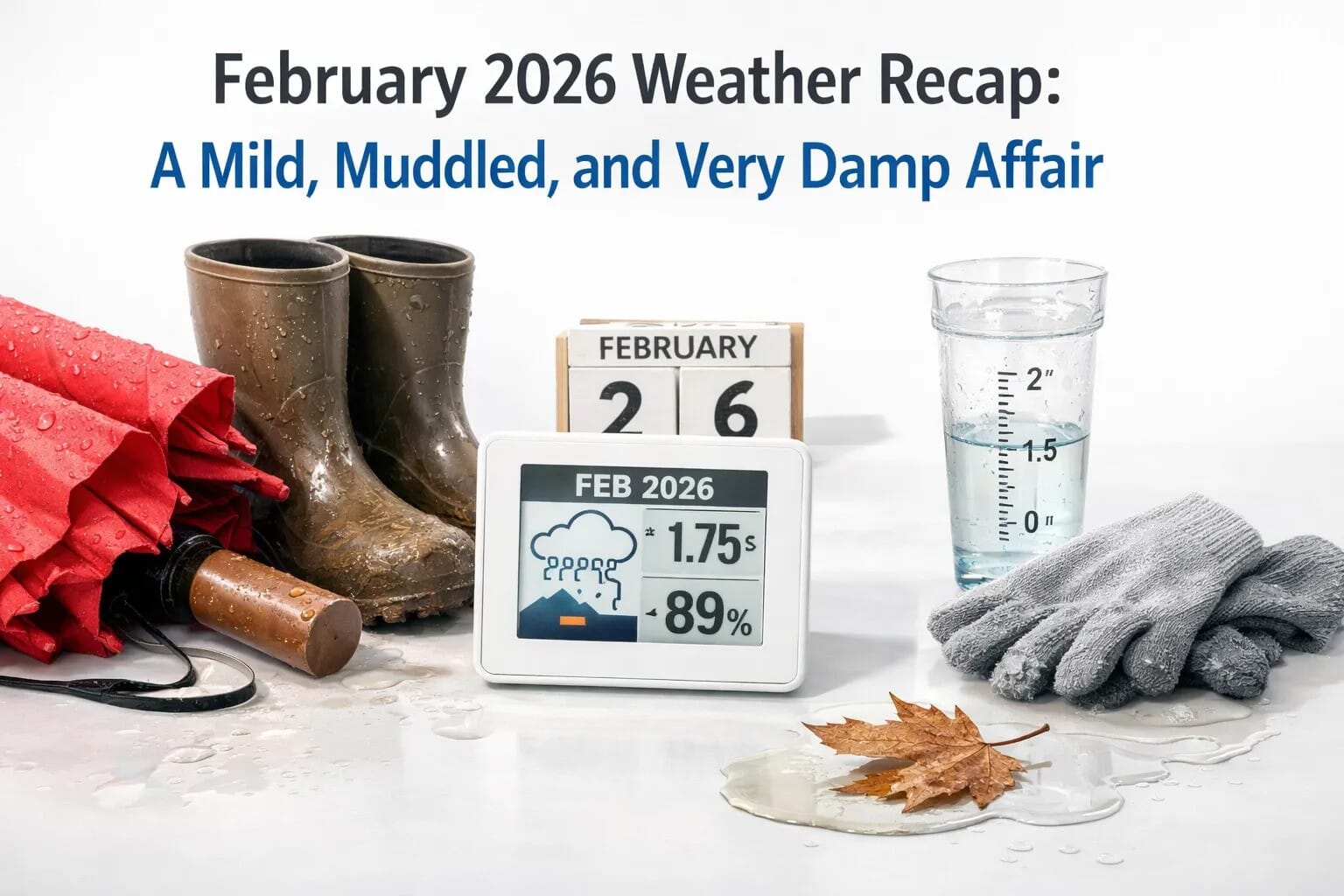
If you felt like you were reaching for your umbrella more often than your de-icer, the provisional statistics support that view. Nationally, rainfall was substantially above the long-term average. The regional breakdown was more pronounced.
England, in particular, saw the highest totals. Observations suggest that England recorded rainfall significantly higher than the long-term norm for February. In some southern counties, local rain gauges recorded their typical monthly total within the first ten days. This sustained rainfall increased saturation issues by mid-month. Several catchments and rivers were reported as near capacity.

If you were using a hygrometer uk to track indoor or outdoor humidity during this period, you likely saw readings pinned at the higher end of the scale for days on end. The lack of dry, continental air meant that "damp" wasn't just a weather forecast; it was a permanent state of being.
February 2026 vs February 2025: A Study in Contrasts
To put February 2026 in context, it helps to look back at February 2025. Last year, the month was notably drier and more settled. Much of February 2025 was influenced by high pressure. This supported crisp mornings, more sunshine, and fewer spells of persistent rainfall.
The contrast is clear:
- February 2025: Drier than average, settled, dominated by high pressure and light winds.
- February 2026: Among the ten warmest on record according to provisional figures, significantly wetter in the south, dominated by an active jet stream and low pressure.
For those with an anemometer as part of their setup, February 2025 often produced lower peak gusts. February 2026 delivered more frequent breezy periods as Atlantic lows tracked close to the UK.
Temperature: Among the Ten Warmest on Record
Despite limited sunshine, temperatures stayed consistently high. According to Met Office provisional stats, February 2026 sits among the ten warmest Februarys on record for the UK.
The mildness was supported by repeated south-westerly airflow and moist Atlantic air. Nights were often mild. Frost was less frequent across southern and central England. Snowfall was more limited outside higher ground, which kept the month feeling more like early spring than late winter in many places.
Several days in the South East reached the mid-teens. These values are more typical of late March or early April.

The Tool for the Job: Monitoring the Muddle
When the weather is this changeable and muddled, having a reliable home weather station becomes more than just a hobby, it’s a necessity for planning your day.
- The Barometer: In a month dominated by low pressure, your barometer would have been the star of the show. Tracking the "V" shapes on a barograph during the passage of February's frequent depressions provides a fascinating insight into the speed at which these systems move.
- The Rain Gauge: With England seeing rainfall significantly higher than the long-term norm, a high-quality rain gauge was essential for keeping track of local saturation levels, which often varied significantly from the national figures.
- The Anemometer: While we didn't see the catastrophic wind speeds of some historic storms, the persistent "breeziness" of a southerly jet stream meant wind vanes were rarely still.
Summary of the Month
In summary, February 2026 was a month that refused to be put in a box. It started with the collapse of the cold Arctic influence and ended as a record-breakingly mild, albeit very soggy, prelude to spring.
While the North-South divide kept things interesting, with Scotland enjoying (or enduring) more traditional winter conditions, the story for the majority of the UK was one of grey skies and mild temperatures. Provisional data highlights just how unusual the rainfall distribution was, reminding us that in the UK, "average" is a very broad term.
As we move into March, all eyes are on whether this active jet stream will finally migrate northwards, allowing the high pressure to return and give us the dry, settled start to spring we’re all hoping for.
Whether you are a professional meteorologist or a backyard observer, keeping an eye on your weather equipment remains the best way to cut through the muddle of the British climate.
Data sourced from Met Office provisional monthly summaries and regional climate observations. Please note that final validated figures may vary slightly once all station data is processed.


